Kézbesítés
Vásárlási tanácsadó


Nem vált be? Semmi gond! Nálunk 30 napon belül visszaküldheti
 Ajándékutalvány
bármilyen értékben
Ajándékutalvánnyal nem nyúlhat mellé. A megajándékozott az ajándékutalványért bármit választhat kínálatunkból.
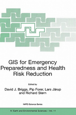
GIS for Emergency Preparedness and Health Risk Reduction
 Angol
Angol
 467 b
467 b
30 nap a termék visszaküldésére
Ezt is ajánljuk


Geographical Information Systems (GIS) have developed rapidly in recent years and now provide powerful tools for the capture, manipulation, integration, interrogation, modelling, analysis and visualisation of data - tools that are already used for policy support in a wide range of areas at almost all geographic and administrative levels. This holds especially for emergency preparedness and health risk reduction, which are all essentially spatial problems. To date, however, many initiatives have remained disconnected and uncoordinated, leading to less powerful, less compatible and less widely implemented systems than might otherwise have been the case. §The important matters discussed here include the probabilistic nature of most environmental hazards and the semi-random factors that influence interactions between these and human exposures; the effects of temporal and spatial scales on hazard assessment and imputed risk; the effects of measurement error in risk estimation and the stratification of risks and their impacts according to socioeconomic characteristics; and the quantification of socioeconomic differences in vulnerability and susceptibility to environmental hazards.Geographical Information Systems (GIS) have developed rapidly in recent years and now provide powerful tools for the capture, manipulation, integration, interrogation, modelling, analysis and visualisation of data - tools that are already used for policy support in a wide range of areas at almost all geographic and administrative levels. This holds especially for emergency preparedness and health risk reduction, which are all essentially spatial problems. To date, however, many initiatives have remained disconnected and uncoordinated, leading to less powerful, less compatible and less widely implemented systems than might otherwise have been the case. §The important matters discussed here include the probabilistic nature of most environmental hazards and the semi-random factors that influence interactions between these and human exposures; the effects of temporal and spatial scales on hazard assessment and imputed risk; the effects of measurement error in risk estimation and the stratification of risks and their impacts according to socioeconomic characteristics; and the quantification of socioeconomic differences in vulnerability and susceptibility to environmental hazards. §GIS are powerful analytical tools in their own right, but what is needed is much more effective communication between the many disciplines, professions and stakeholders concerned - something which this book helps to achieve.
Információ a könyvről
 Angol
Angol


 Hogyan vásároljunk


