Kézbesítés
Vásárlási tanácsadó


Nem vált be? Semmi gond! Nálunk 30 napon belül visszaküldheti
 Ajándékutalvány
bármilyen értékben
Ajándékutalvánnyal nem nyúlhat mellé. A megajándékozott az ajándékutalványért bármit választhat kínálatunkból.
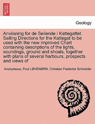
Anviisning for de Seilende I Kattegattet. Sailing Directions for the Kattegat to Be Used with the New Improved Chart Containing Descriptions of the Li
 Angol
Angol
 45 b
45 b
30 nap a termék visszaküldésére
Ezt is ajánljuk


bTitle:/b Anviisning for de Seilende i Kattegattet.] Sailing Directions for the Kattegat to be used with the new improved Chart containing descriptions of the lights, soundings, ground and shoals, together with plans of several harbours, prospects and views of land published from the Royal Danish Marine Archives for Draughts and Charts by P. de Lożvenożrn ... translated ... by Frederick Schneider.br/br/bPublisher:/b British Library, Historical Print Editionsbr/br/The British Library is the national library of the United Kingdom. It is one of the world's largest research libraries holding over 150 million items in all known languages and formats: books, journals, newspapers, sound recordings, patents, maps, stamps, prints and much more. Its collections include around 14 million books, along with substantial additional collections of manuscripts and historical items dating back as far as 300 BC.br/br/The GEOLOGY collection includes books from the British Library digitised by Microsoft. The works in this collection contain a number of maps, charts, and tables from the 16th to the 19th centuries documenting geological features of the natural world. Also contained are textbooks and early scientific studies that catalogue and chronicle the human stance toward water and land use. Readers will further enjoy early historical maps of rivers and shorelines demonstrating the artistry of journeymen, cartographers, and illustrators. br/br/++++br/The below data was compiled from various identification fields in the bibliographic record of this title. This data is provided as an additional tool in helping to insure edition identification:br/++++br/br/b
Információ a könyvről
 Angol
Angol


 Hogyan vásároljunk


