
 Kapcsolat
 Hogyan vásároljunk
Kézbesítés
Vásárlási tanácsadó
Spatial Computing
 Angol
Angol
 40 b
40 b

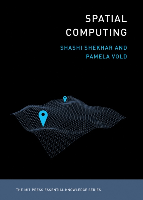
An accessible guide to the ideas and technologies underlying such applications as GPS, Google Maps, Pokemon Go, ride-sharing, driverless cars, and drone surveillance.Billions of people around the globe use various applications of spatial computing daily-by using a ride-sharing app, GPS, the e911 system, social media check-ins, even Pokemon Go. Scientists and researchers use spatial computing to track diseases, map the bottom of the oceans, chart the behavior of endangered species, and create election maps in real time. Drones and driverless cars use a variety of spatial computing technologies. Spatial computing works by understanding the physical world, knowing and communicating our relation to places in that world, and navigating through those places. It has changed our lives and infrastructures profoundly, marking a significant shift in how we make our way in the world. This volume in the MIT Essential Knowledge series explains the technologies and ideas behind spatial computing.The book offers accessible descriptions of GPS and location-based services, including the use of Wi-Fi, Bluetooth, and RFID for position determination out of satellite range; remote sensing, which uses satellite and aerial platforms to monitor such varied phenomena as global food production, the effects of climate change, and subsurface natural resources on other planets; geographic information systems (GIS), which store, analyze, and visualize spatial data; spatial databases, which store multiple forms of spatial data; and spatial statistics and spatial data science, used to analyze location-related data.


Információ a könyvről
Angol

Ajándékozza oda ezt a könyvet még ma
Nagyon egyszerű
1 Tegye a kosárba könyvet, és válassza ki a kiszállítás ajándékként opciót 2 Rögtön küldjük Önnek az utalványt 3 A könyv megérkezik a megajándékozott címéreSzia! Libroamiko vagyok, a könyvtanácsadód.
Miben segíthetek?